7D Geophysical Consultancy

OUR SERVICES / 7D

The right method
A clearer picture

Explore 13 consultancy and technical disciplines, bringing together field investigation, scientific insight and specialist support.

Explore our expertise
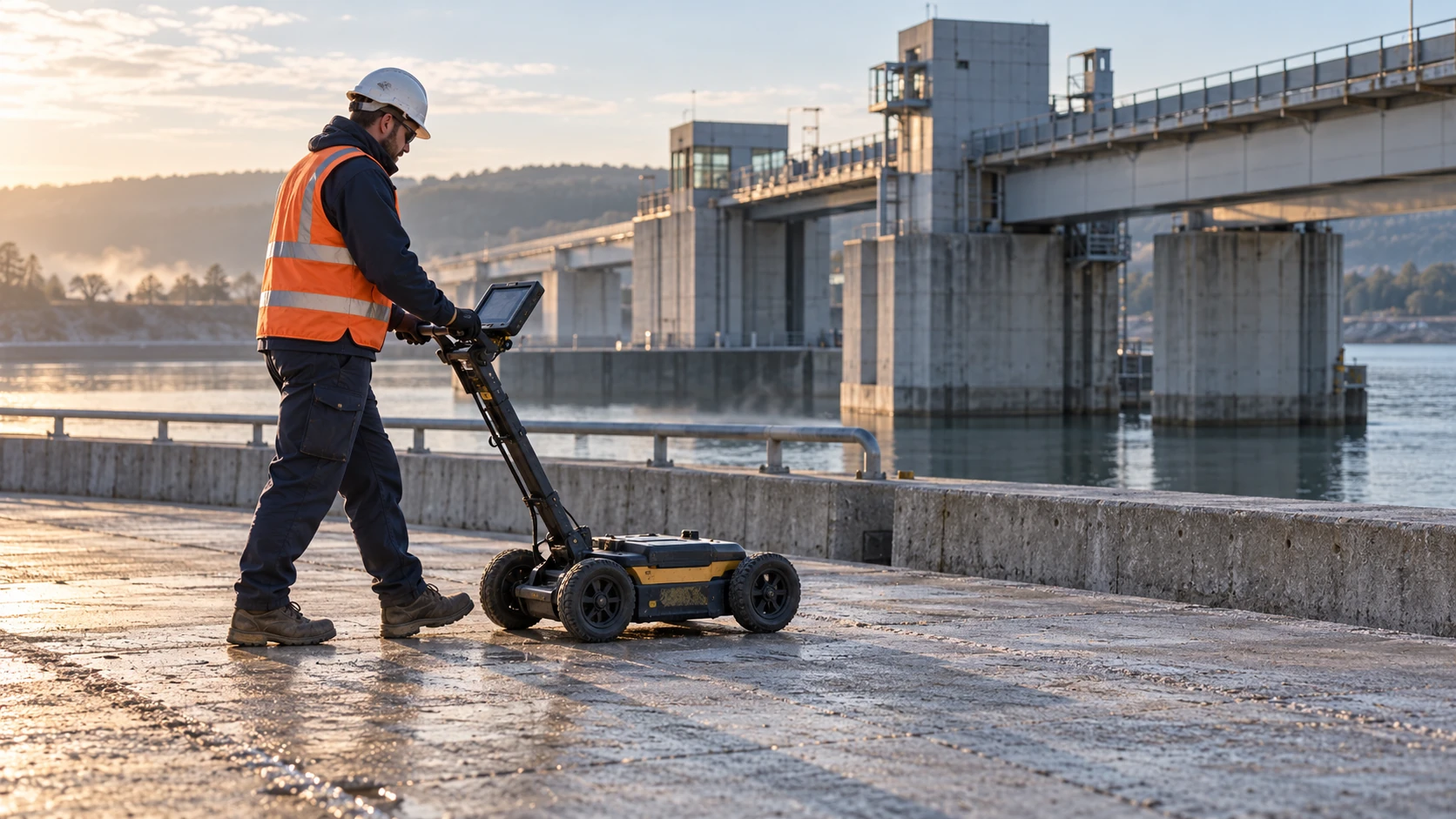
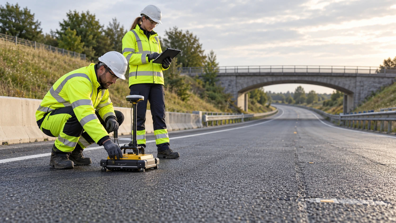
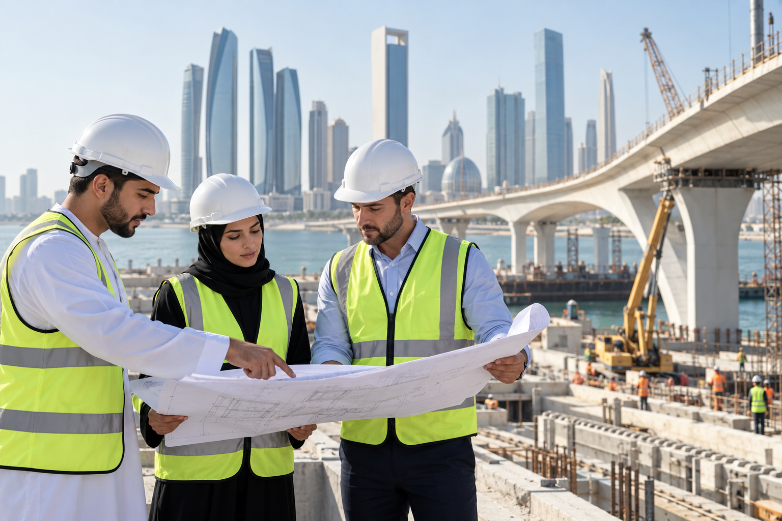
Illustrative image of a field survey on infrastructureFIELDWORK / INSIGHT / DECISIONS

OUR EXPERTISE / 13 DISCIPLINES

One multidisciplinary
perspective

From field investigation to interpretation, specialist advice and training, explore the disciplines that support your project at every stage.

SELECT A DISCIPLINE / EXPLORE CAPABILITIES
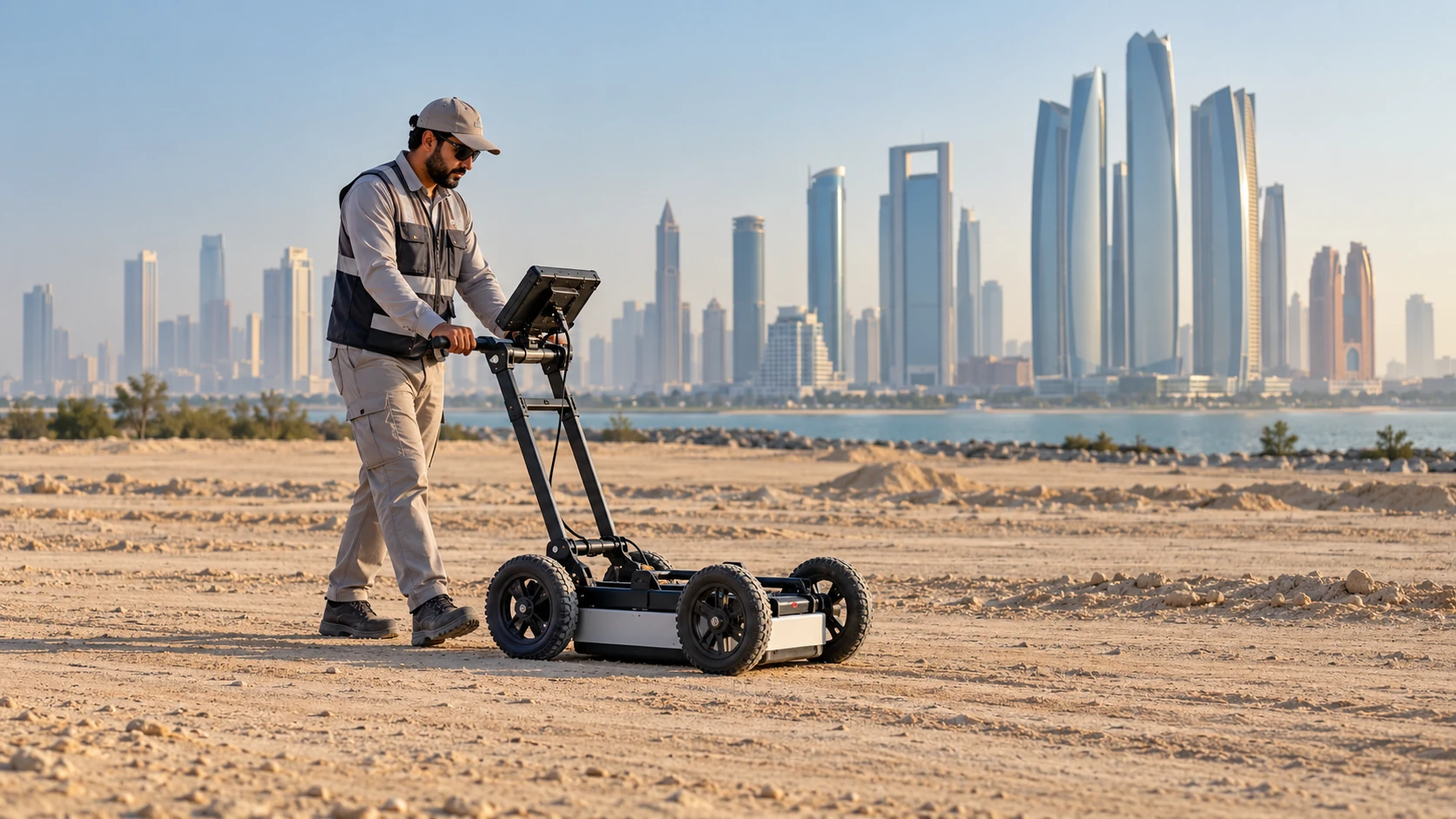
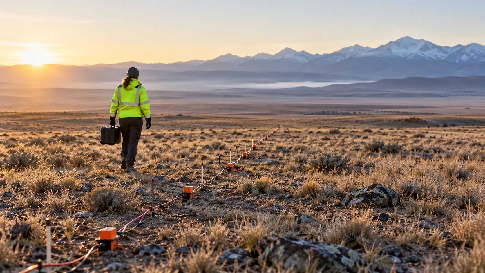
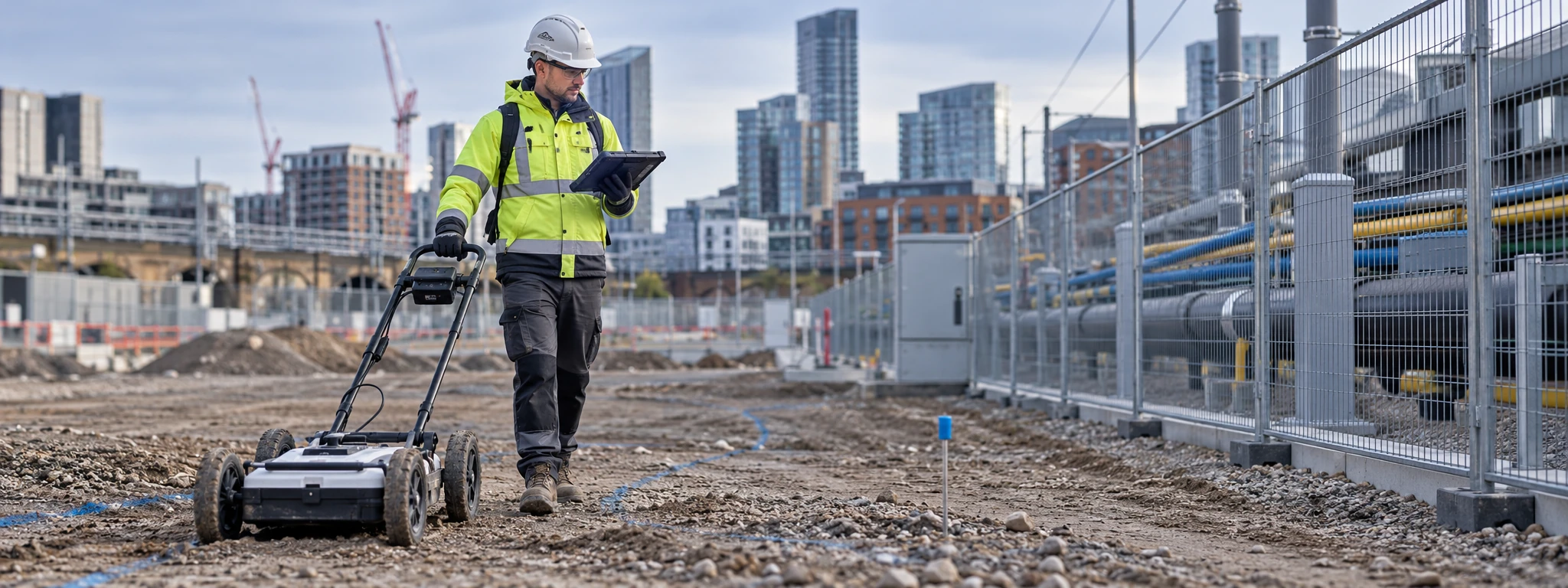
Illustration of geophysical field survey
01 / GEOSCIENCE

Geophysical Consultancy

GPR, seismic surveys, electrical resistivity, underground utility detection and subsurface investigations.

Explore capabilities
  • Ground Penetrating Radar (GPR)
  • Seismic surveys
  • Electrical resistivity (ERT)
  • Underground utility detection
  • Subsurface investigations
Discuss this service ↗
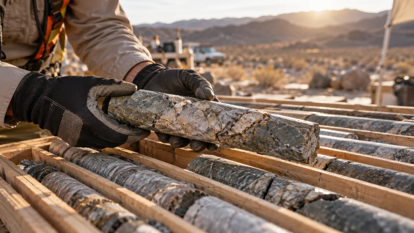
Illustration of geological rock core examination
02 / GEOSCIENCE

Geological Consultancy

Geological understanding for informed assessments of sites, rock and mineral resources.

Explore capabilities
  • Geological mapping
  • Mineral exploration
  • Rock characterization
  • Geological assessments
Discuss this service ↗
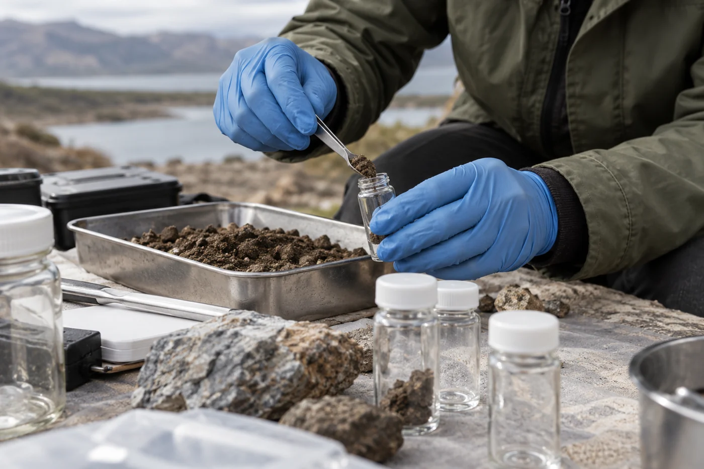
Illustration of soil and water sample preparation
03 / GEOSCIENCE

Geochemical Consultancy

Sampling and interpretation to investigate the chemical characteristics of ground and water.

Explore capabilities
  • Soil, rock and groundwater sampling
  • Geochemical interpretation
  • Contamination studies
  • Mineral analysis
Discuss this service ↗
Illustration of ground assessment in the field
04 / GEOSCIENCE

Geotechnical Consultancy

Ground and foundation investigations to support the assessment of site conditions.

Explore capabilities
  • Ground investigations
  • Foundation assessments
  • Void detection
  • Soil and rock characterization
Discuss this service ↗
Illustration of environmental field investigation
05 / GEOSCIENCE

Environmental Consultancy

Site assessment and investigation for environmental conditions and potential pollution.

Explore capabilities
  • Environmental site assessments
  • Pollution investigations
  • Groundwater contamination
  • Environmental monitoring
Discuss this service ↗
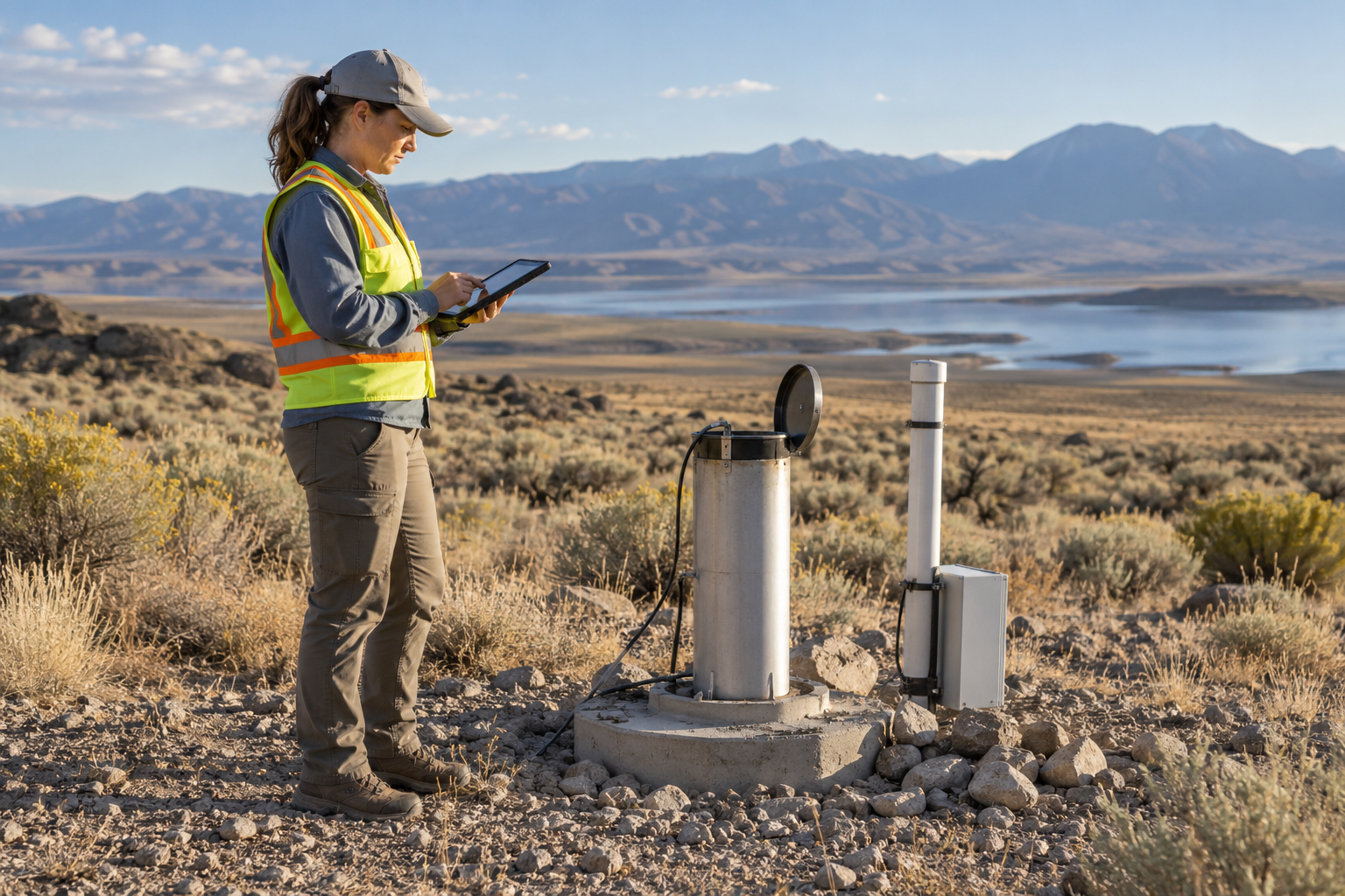
Illustration of groundwater investigation
06 / GEOSCIENCE

Hydrogeological Consultancy

Investigating groundwater resources and the geological conditions that influence them.

Explore capabilities
  • Groundwater exploration
  • Aquifer assessments
  • Borehole location studies
  • Water resource investigations
Discuss this service ↗
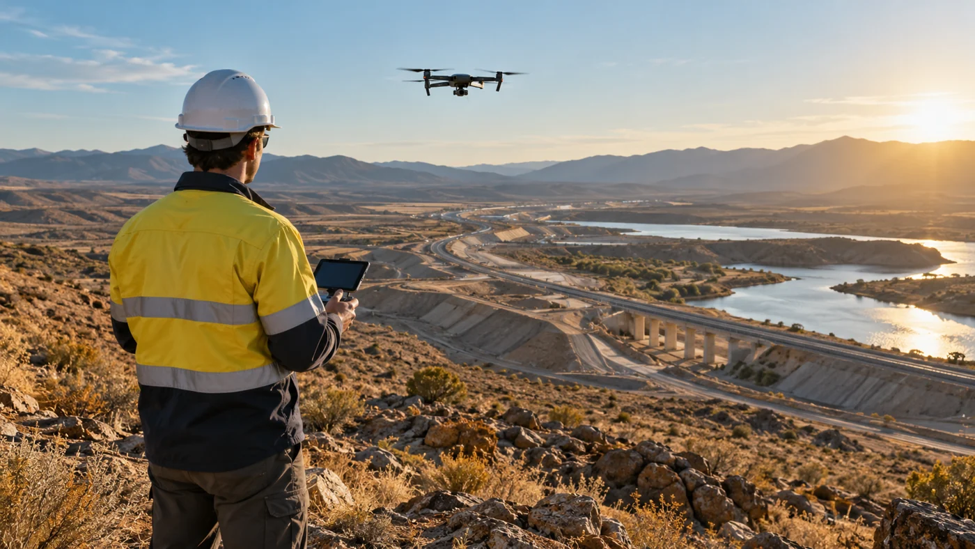
Illustration of drone surveying and spatial mapping
07 / TECHNICAL

Surveying and GIS Services

Spatial data and mapping to support site planning, interpretation and decisions.

Explore capabilities
  • Topographical surveys
  • GIS mapping
  • Remote sensing
  • Drone surveys
  • Spatial data analysis
Discuss this service ↗
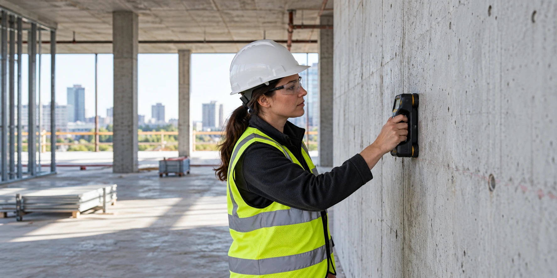
Illustration of non-destructive structural assessment
08 / TECHNICAL

Non-Destructive Testing (NDT)

Non-destructive assessment of concrete and structural features to inform intervention.

Explore capabilities
  • Concrete scanning
  • Structural condition assessments
  • Reinforcement mapping
  • Defect detection
Discuss this service ↗
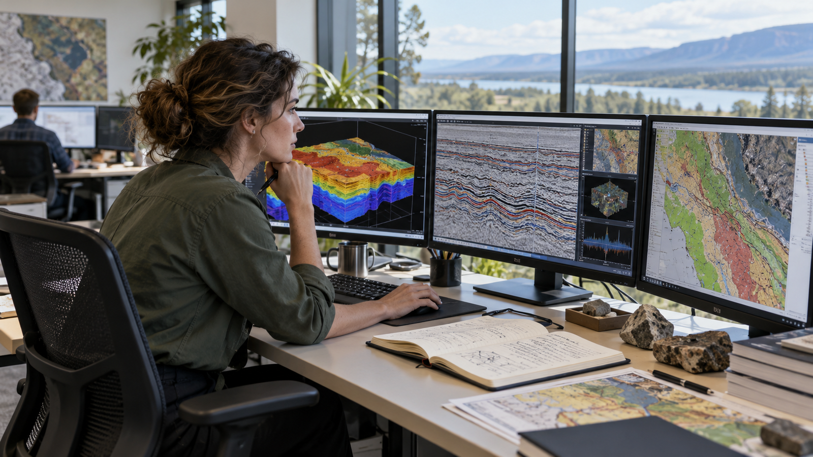
Illustration of geoscientific data interpretation
09 / TECHNICAL

Geoscientific Data Processing

Processing and interpreting data to communicate the subsurface picture clearly.

Explore capabilities
  • Geophysical data interpretation
  • 2D/3D modelling
  • Technical reporting
  • GIS and CAD deliverables
Discuss this service ↗
Illustration of technical document preparation
10 / SPECIALIST

Translation Services

Translation of documents across technical, scientific, engineering, commercial and general fields.

Explore capabilities
  • Technical and scientific translation
  • Engineering documents
  • Commercial documents
  • General document translation
Discuss this service ↗
Illustration of field training and survey methods
11 / SPECIALIST

Technical Training and Education

Practical education and knowledge sharing for geoscience and survey professionals.

Explore capabilities
  • Geophysics courses
  • GPR training
  • GIS workshops
  • Field training
  • Technical seminars
Discuss this service ↗
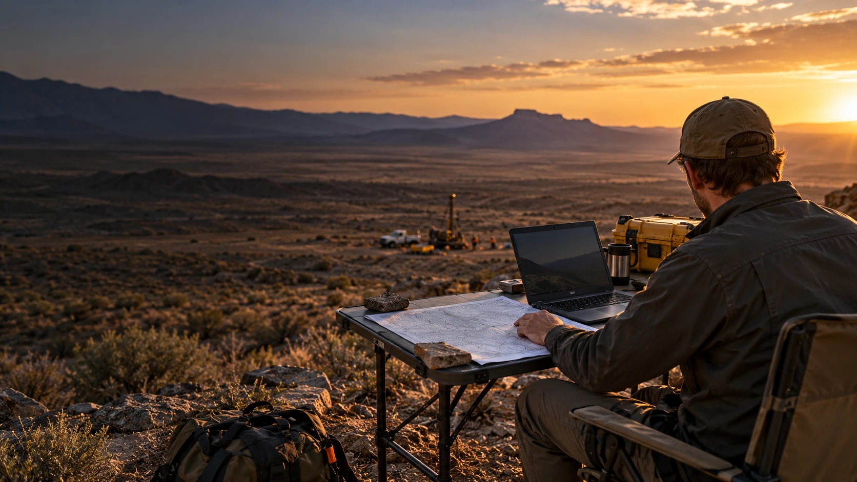
Illustration of scientific field research
12 / SPECIALIST

Scientific Research and Consultancy

Specialist research and advisory support for complex scientific questions.

Explore capabilities
  • Research projects
  • Feasibility studies
  • Scientific investigations
  • Specialist advisory services
Discuss this service ↗
Illustration of project coordination and technical supervision
13 / SPECIALIST

Project Management and Technical Supervision

Coordination and independent oversight throughout the survey process.

Explore capabilities
  • Survey planning
  • Subcontractor coordination
  • Field supervision
  • Independent quality control
Discuss this service ↗
METHODS / 01—02

Tools for a
clearer picture

Two core geophysical methods help answer different subsurface questions. Their suitability depends on the site and investigation objective.

01 / GPR

Ground Penetrating Radar

Electromagnetic pulses can reveal near-surface features such as buried utilities, reinforcement and voids where conditions allow.

02 / ERT

Electrical Resistivity Tomography

Resistivity measurements support interpretation of subsurface variation for geological, groundwater and environmental investigations.

START A CONVERSATION

Every site has a story
Let’s uncover yours

Tell us about your site, your objectives and the decisions ahead.

Discuss your project ↗